 |
|
|
(Photography permission required)
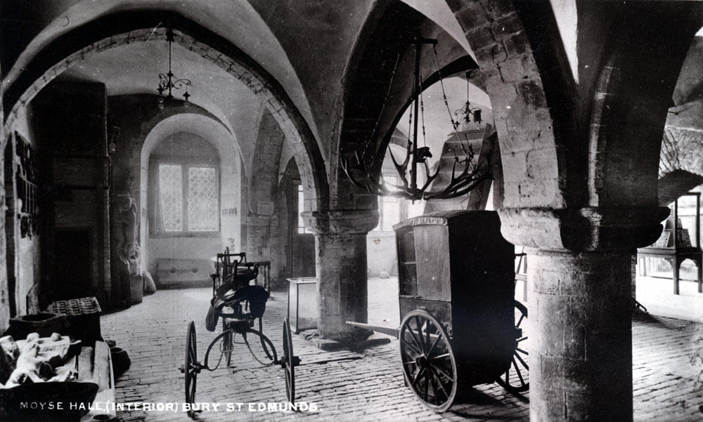
Picture Page 6 Items shown on the stairs |
 |
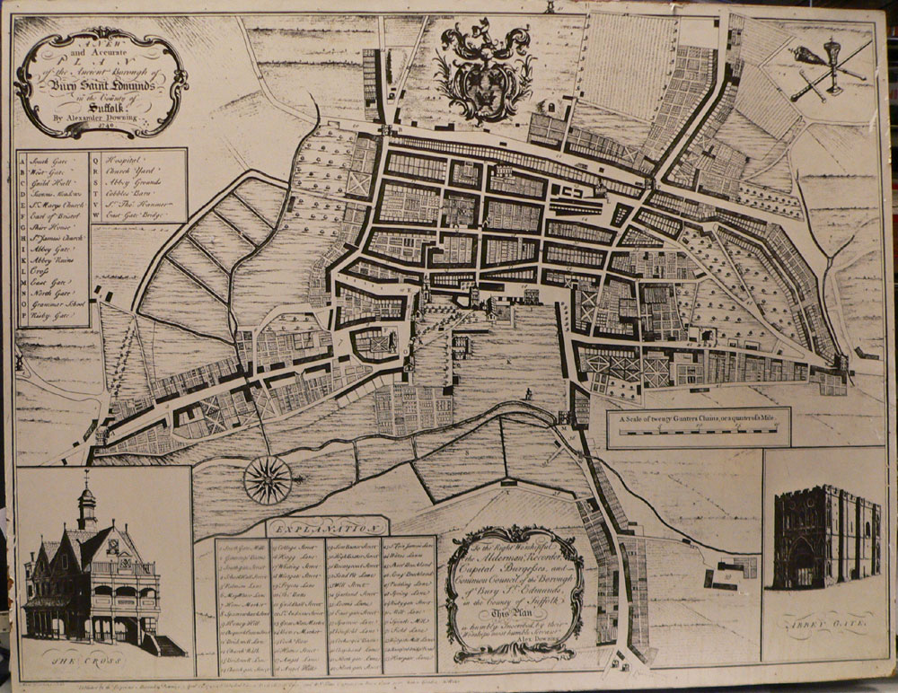 In the lobby at the foot of the backstairs in Moyse's Hall are several old maps of Bury St Edmunds. This map in the back lobby is Downing's plan of Bury St Edmunds from 1741. |
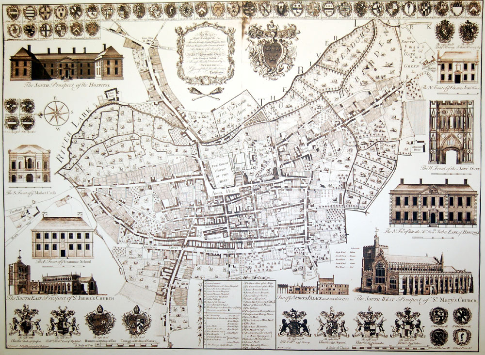 In 1748 Thomas Warren embarked upon a measured survey of Bury St Edmunds and produced this map. In fact a slightly amended version was re-issued by his son, Thomas Warren junior, in 1776. It is the 1776 version which is reproduced for sale in the museum shop. |
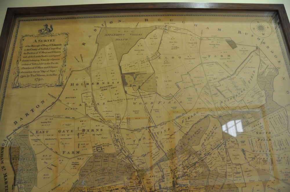 This map was drawn by Thomas Warren the younger in 1791 for the vestries of the two parishes of Bury St Edmunds. It shows the area of the Borough out to the edges of the old banleuca, and is much larger in size than the other maps, making it very difficult to photograph in its entirety. |
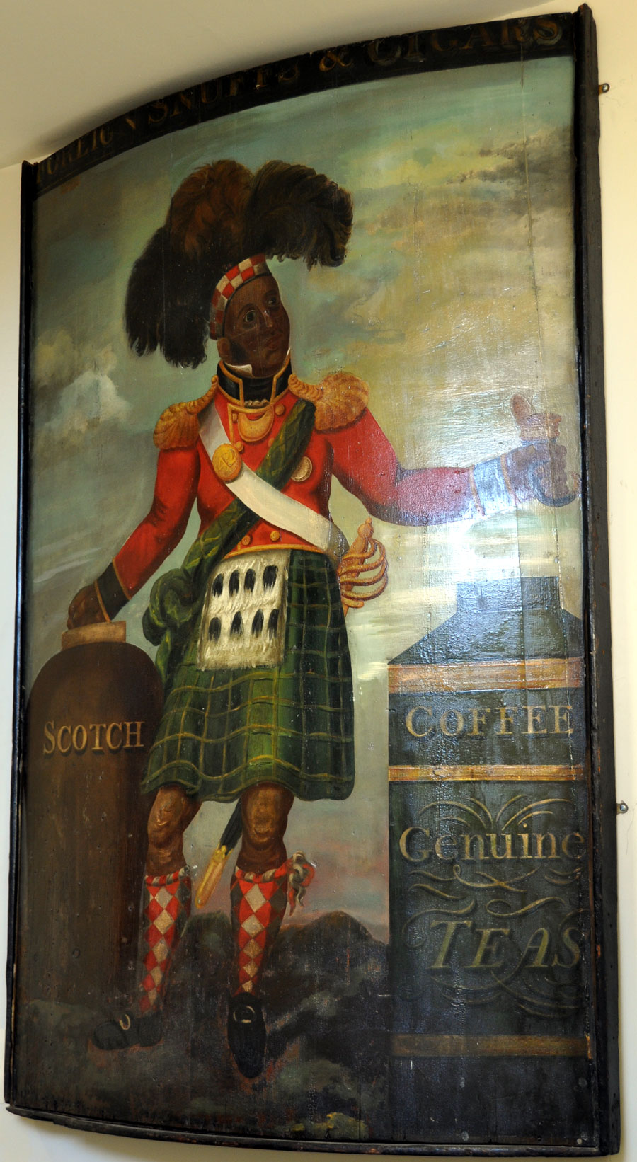 This sign advertised Sexton's Tobacconists shop at 26 Buttermarket for many years, probably from 1858 until closure in 1964. Such a depiction of a highlander was known as a "Phineas". |
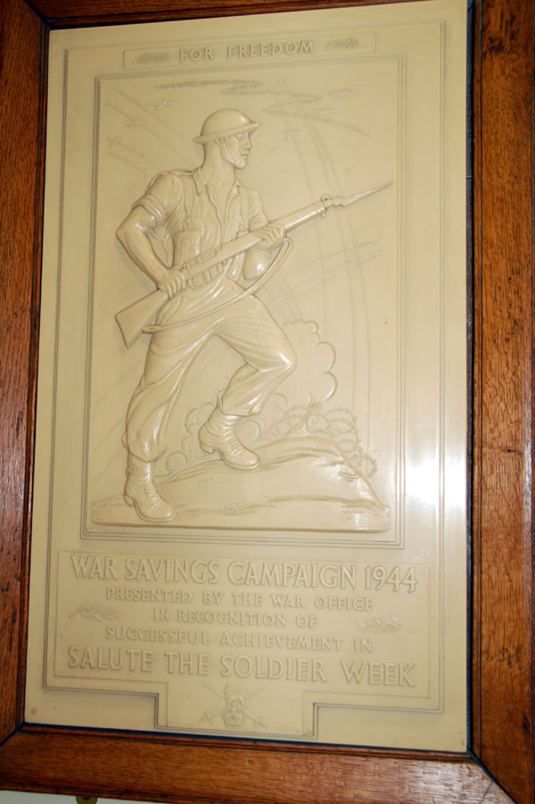 On the staircase leading to the Suffolk Regiment gallery are these plaques which celebrate the public collections made to support the armed forces during World War II. This one is for Salute the Soldier Week in 1944, in which War Savings Bonds were sold to the public. |
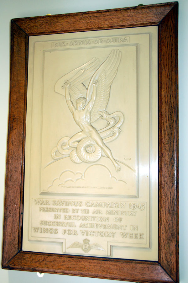 Collections to buy aeroplanes like the Spitfire were also frequent. This was also achieved by the sale of War Bonds. This plaque is for the Wings for Victory Week in 1943. |
 This portrait of W E Guinness hangs outside the Suffolk Regiment Gallery. It shows Guinness in his Suffolk Regiment uniform, in which he won the DSO and bar in 1917. He was MP for Bury from 1907 to 1931, and owned the Manor House in Honey Hill, Bury, during that period. |
||
Page: 1 2 3 4 5 6 |
| [ Prev ] [ Next ] |
|
The next page takes you back to page 1 |
| Go to Museums homepage | Produced 27th November 2011 | Go to Main Home Page |